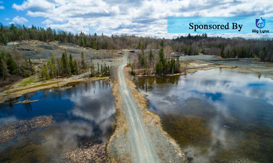
First Cobalt Corp announces that two additional drill rigs have been mobilized at its Iron Creek Cobalt Project in Idaho, USA to accelerate drilling activities. The Company is now drilling both from surface and underground.
Highlights:
Drilling will test down dip extensions of known cobalt-copper zones to over 300 metres below surface and test lateral strike over one kilometre to extend mineralization beyond the current 520 metres
81 holes and over 29,000 metres have been planned, primarily from new surface drilling stations constructed earlier this year
Maiden NI 43-101 mineral resource estimate expected by October 2018
New mineralized zones in the footwall are being targeted to test extensions to surface
Close-spaced drilling on two mineralized zones to bring a portion of the expected Inferred Mineral Resource estimate into Measured and Indicated Resource category in a second resource estimate
Trent Mell, President & Chief Executive Officer, commented:
Our confidence level in the growing footprint of the Iron Creek project warrants an acceleration of drilling activities. A maiden resource estimate is underway and will be available by October. We believe Iron Creek is an important part of the pipeline of cobalt concentrate we intend to feed into the First Cobalt Refinery in Ontario and the addition of two more drill rigs will significantly speed up activities.?
First Cobalt previously announced a fully-funded $9 million work program for the Iron Creek Project, which it acquired on June 4, 2018. Drilling is designed to extend the strike length of the mineralized zone to 1,032 metres from the current 520 metres and test down dip extensions of known cobalt-copper zones to over 300 metres below surface. Results reported to date have encountered cobalt-copper mineralization in both the No Name and the Waite Zones. (continued on page 2)
Check out our other current stories, we dare you…
<
The addition of two surface rigs will accelerate drilling results and supplement ongoing underground drilling from existing adits. Surface drilling stations were constructed earlier this year and both rigs are already in operation.
In 2017, drilling from surface focused primarily on the No Name Zone and Q1 2018 drilling from underground targeted the lesser known Waite Zone. Results from that work program are currently being compiled and will form the basis of a maiden NI 43-101 mineral resource estimate expected by October 2018. The current drill program will support a second resource estimate anticipated in early 2019 and is expected to support a conversion of a portion of the expected Inferred Mineral Resource estimate into a Measured and Indicated Resource estimate.
The work program previously announced targeted a dip extent of 200m and a strike length of 900m (see June 11, 2018 press release). Due to ongoing success, the drill target area continues to grow, and the Company is now targeting 300m of dip and a strike length of 1,032 across the two zones (Figure 1).
The No Name and Waite Zones are roughly parallel and strike along a 290e have true widths between 10m and 30m. Mineralization also occurs between the No Name and Waite Zones as 1 to 5m pods.
A total of 81 holes have been planned and an additional 12 holes are being considered to explore extensions to mineralized intercepts from previous drilling and down-dip extensions to the known mineralized zones below 300m.
Underground drilling has moved from Adit #2 to Adit #1 to provide more detailed data from within the No Name and Waite Zones, in part validating the drill spacing required for a Measured and Indicated Resource calculation (Figure 2). Adit #1 was sampled in detail in 2017 and material was sourced from Adit #1 for preliminary metallurgical tests. Drilling and sampling assays along the walls of Adit #1 done in 2017 returned comparable cobalt and copper grades to results reported pre-1970 (Table 1).
The Iron Creek property consists of mining patents and exploration claims with significant infrastructure already in place to support multiple drills and underground activity. Historic underground development includes 600 metres of drifting from three adits and an all-weather road connecting the project to a state highway.
Several inferred resource calculations were made in the 1980s and 1990s by Noranda Inc., Inspiration Mines and Cominco Ltd. These estimates only considered the No Name Zone, where historic drilling was most dense. Historic drilling, pre-1960, traced the No Name Zone for over one kilometre of strike length.
Check out our other current stories, we dare you…


